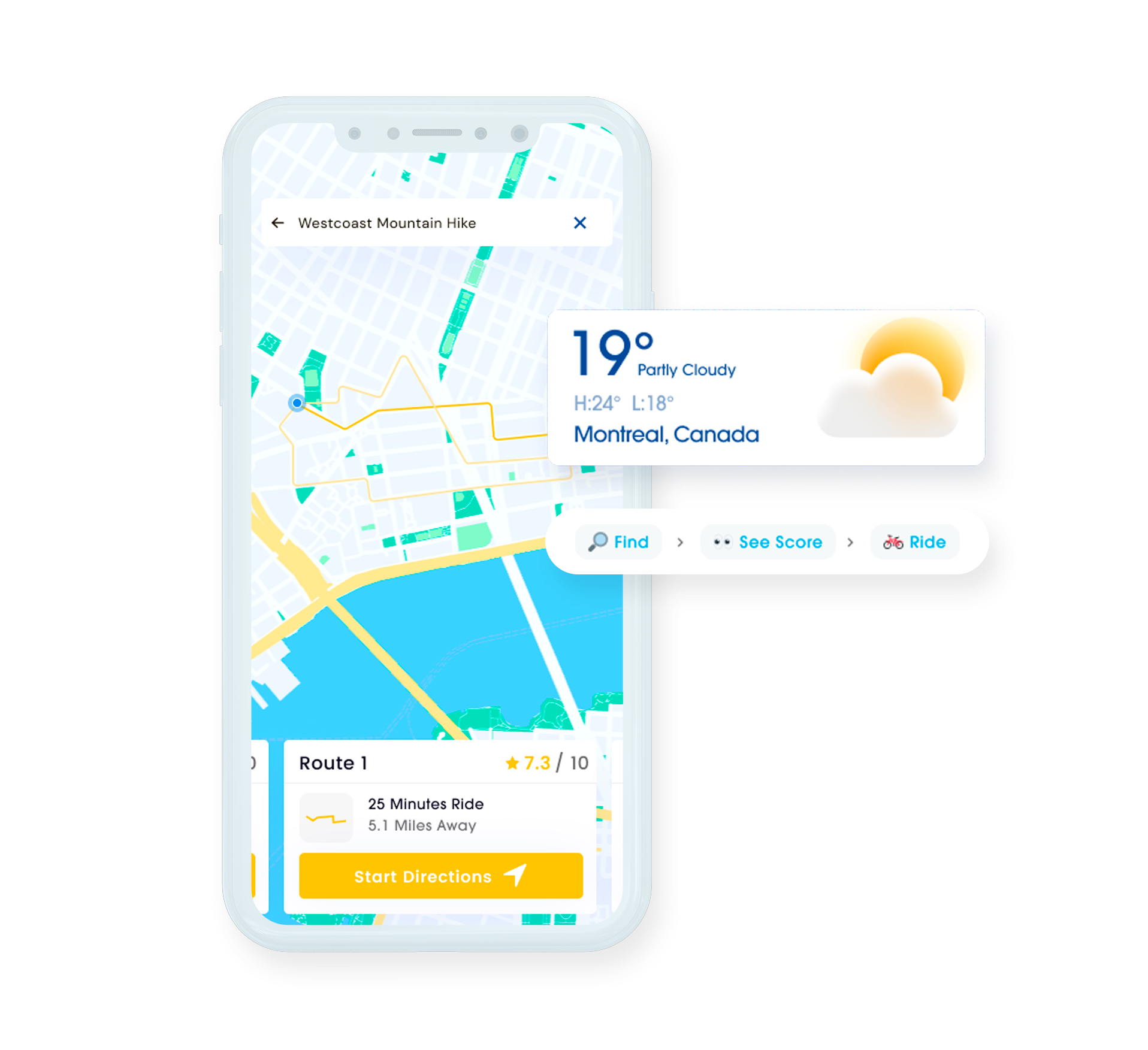
GIS Services Company: Improve Your Business with Geospatial Data
Leverage the potential of GIS technology to develop comprehensive mapping solutions to sky-rocket your business!
Top Rated
Clients

Ask AI to summarize this page
Save time with an instant, easy-to-read summary.
Transforming Businesses with Proven Results
Faster development, greater efficiency, trusted globally, and driven by referrals.
savings with AI-powered Engineering
users trust our products
efficiency boost for businesses
of new clients come from referral
Everything you need to Know About Geographic Information System
GIS or geographic information system is a framework that captures, manages, analyzes & displays various information about Earth’s surface, say natural resources, weather conditions, etc in the form of maps, graphs, charts, pictures, etc. It uses spatial and statistical methods to organise layers of information into visualizations with the help of 3D scenes, thereby enabling businesses to gain deeper insights into the data, especially in terms of situations, patterns and relationships. This results in accurate decision making & improving overall operational efficiency.
TechExactly, as one of the leading GIS services companies, excels in delivering custom GIS-based software & application development services which capture geospatial information. Thanks to our experienced GIS engineers, we provide rich analytics and custom GIS mapping solutions for better planning in terms of delivery, facilities and networking for a host of industries.
Choose from our Wide Range of GIS Development Services
TechExactly is your trusted GIS partner!
Custom GIS Software Development
Comprehensive GIS services. Expertise in Leaflet, Python, JavaScript, and PostGIS for tailored software meeting industry-specific needs
Mobile App Integration
Expert GIS mobile integration boosts operational efficiency for Android and Apple devices, enhancing mobile workforce productivity.
GIS Database Design
Experts use commercial and customized tools to craft comprehensive GIS database designs, catering to all your data design requirements.
Sneak Peek into the GIS Technologies We work with
Get reliable and scalable results with TechExactly right away!

Python

Openlayers

PostgreSQL

SQL

ArcGIS
QGIS

FME

PostGIS
Leaflet

GeoServer
Top 9 Benefits of Investing in GIS Services
Stay at the forefront of technological progress with us
Unlock Trends with GIS
GIS technology analyzes current trends, visualizes future impacts, and guides policy formulation for business growth and redirection.
Streamlined Global Forecasting
GIS experts utilize diverse tools for traffic monitoring, climatology analysis, and topographical data review to enhance forecast accuracy
Identify hidden pain points
GIS maps uncover geographic patterns, identifying needs and problem areas often missed in spreadsheets, fostering proactive solutions.
Precision in Data Analysis
Utilizing multiple sources, GIS ensures precise labeling and accurate data analysis, minimizing errors and facilitating informed decision-making
Unlock Insights
GIS simplifies multi-criteria decision-making, revealing hidden data patterns for powerful insights, aiding choices like real estate site selection and resource extraction
Optimize Resource Allocation
GIS offers real-time data for better resource allocation and effective planning, enhancing situational awareness and operational efficiency for businesses.
Cost Savings Through Efficiency
Efficient planning, accurate data, and prompt decisions reduce costs by optimizing resource allocation and avoiding bad decisions, enhancing overall business efficiency
Enhance Communication
Visual GIS data facilitates employee engagement, promoting communication and collaboration across teams and departments for improved internal coordination.
Efficient Record Management with GIS
GIS offers robust data management tools for maintaining records and standardized reporting, ensuring accuracy and reliability for senior executive decision-making.
Top Reasons to Choose Us for GIS Development
Here's what makes us the most-trusted service provider
Dedicated Team at your Service
Our professionals meet project requirements, crafting web solutions tailored to your business needs, driving exponential growth.
Guaranteed On-time Delivery
TechExactly's team operates round the clock to meet project deadlines. With agile methodology, our experts efficiently accelerate development while strictly adhering to timelines
Strategies That Work Every Time
Understanding each order's specifications, we devise unique strategies for improved business results. Our proactive approach tackles business challenges, ensuring continuous success.
Best Support System Money Can Buy
Unlike others, we don't just boost your revenue; we offer prompt customer support. At TechExactly, our 18 hours a day assistance ensures client satisfaction post-project. Trust us for round-the-clock help.
Enjoy Best GIS Services at Slashed Rates
With flexible hiring options, we offer unmatched services at competitive prices. Choose part-time or full-time to pay only for productive hours.
Get Industry-Specific Solutions from the Most Promising GIS Service Provider
Say "Yes" to Geospatial Data and Boost Your Business
-
Healthcare
-
Beauty and Lifestyle
-
Transportation Sector
-
Hospitality
-
Digital Agencies
-
Healthcare Sector
-
Logistics
-
Energy & Utilities Sector
-
Government
-
Food & Beverage
-
Real Estate Sector
-
Public Safety
You will be in Good Care
We have worked with startups to multinational companies & we are well-versed in the challenges so relax

Frequently Asked Questions
The cost of building a GIS software/app depends on an array of factors such as app complexity, UI/UX designs, feature set etc. Only after properly going through all your project requirements, we will be able to provide you with an accurate figure.
The time required to build a GIS software/app depends on a number of factors such as the complexity of the design, development platform, feature set, testing, and much more. Get in touch with us with your project requirements to know the estimated timeline.
At TechExactly, our services extend way beyond app/software development. Besides developing high-quality digital solutions, we also offer ongoing support and maintenance after a product is delivered to ensure your application runs flawlessly.
At TechExactly, we understand that every project has a unique set of requirements. As the leading GIS consulting company, we believe in creating personalized solutions that meet the needs of your business. Give us a call and tell us about the project details. As soon as we are thorough with your project requirements, we will give you an accurate estimate based on your needs.
Your overall savings might vary from one project to another. Thanks to our affordable GIS consulting services, your savings can range anywhere from 30% to 60% (based on the requirement and complexity of your project).
Once you mention the details of your project to our GIS consultants, we shall provide an estimated quote and our team will send you a contract. After you sign the contract, we will begin with the process. As soon as you make the advance payment, we will require approximately 3 to 5 days to schedule the beginning date for your project.
Ready to Get Started?
Get a free quote and see what we can do for you.
